 vesseltracker.com
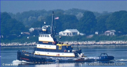
Find the position of the vessel Ivory Coast on the map. The latter are known coordinates and path.
marine traffic ship tracker show on live map
The current position of vessel Ivory Coast is 40.92838 lat / -73.90611 lng. Updated: 2025-11-19 00:21:48 UTCCurrently sailing under the flag of USA
Ivory Coast built in 1967 year
Details:
Last coordinates of the vessel:
UTC, 40.92833, -73.90500, course: -1, speed: 0UTC, 40.92837, -73.90609, course: 188, speed: 0
UTC, 40.92833, -73.90500, course: -1, speed: 0
2025-11-19 00:21:48 UTC, 40.92838, -73.90611, course: 183, speed: 0