 vesseltracker.com
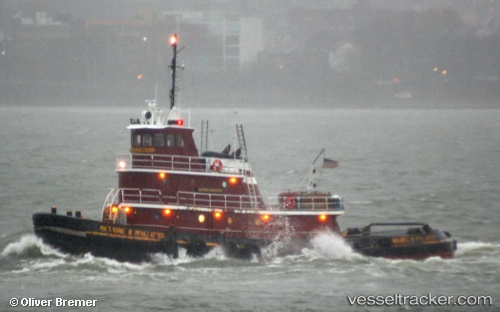
Find the position of the vessel Marjorie B Mcalliste on the map. The latter are known coordinates and path.
marine traffic ship tracker show on live map
The current position of vessel Marjorie B Mcalliste is 40.69659 lat / -74.14247 lng. Updated: 2025-10-14 05:11:03 UTCDetails:
Last coordinates of the vessel:
UTC, 40.69656, -74.14247, course: 317, speed: 0UTC, 40.69660, -74.14248, course: 312, speed: 0.1
UTC, 40.69657, -74.14247, course: 327, speed: 0
2025-10-14 05:11:03 UTC, 40.69659, -74.14247, course: 330, speed: 0