 vesseltracker.com
Live AIS position:
40.63821° N, 74.15141° W UTC. Near Port Ivory/Staten Isl/New York),
updated 2025-11-23 21:56:44 UTC.
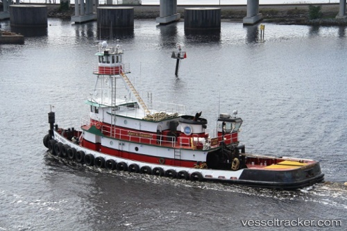
Find the position of the vessel Amy E Hebert on the map. The latter are known coordinates and path.
marine traffic ship tracker show on live map
The current position of vessel Amy E Hebert is 40.63821 lat / -74.15141 lng. Updated: 2025-11-23 21:56:44 UTCCurrently sailing under the flag of USA
Amy E Hebert built in 1969 year
Details:
Last coordinates of the vessel:
UTC, 40.63828, -74.15145, course: 171, speed: 0UTC, 40.63833, -74.15142, course: 169, speed: 0
UTC, 40.63829, -74.15140, course: 171, speed: 0
2025-11-23 21:56:44 UTC, 40.63821, -74.15141, course: 171, speed: 0