 vesseltracker.com
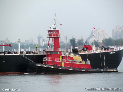
Vessel Evening Light IMO: 7400479, MMSI: 367686010 Tug
UTC, 39.44256, -75.99085, course: 40, speed: 0
UTC, 39.44253, -75.99086, course: 32, speed: 0
2026-01-17 13:55:50 UTC, 39.44261, -75.99075, course: 34, speed: 0
Live AIS position:
UTC. Near Earleville),
updated 2026-01-17 13:55:50 UTC.
Find the position of the vessel Evening Light on the map. The latter are known coordinates and path.
marine traffic ship tracker show on live map
The current position of vessel Evening Light is 39.44261 lat / -75.99075 lng. Updated: 2026-01-17 13:55:50 UTCDetails:
Last coordinates of the vessel:
UTC, 39.44252, -75.99082, course: 38, speed: 0UTC, 39.44256, -75.99085, course: 40, speed: 0
UTC, 39.44253, -75.99086, course: 32, speed: 0
2026-01-17 13:55:50 UTC, 39.44261, -75.99075, course: 34, speed: 0