 vesseltracker.com
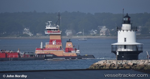
Vessel Gracie M Reinauer IMO: 9804605, MMSI: 367728850 Pusher Tug
UTC, 39.58346, -74.08746, course: 206, speed: 8.6
UTC, 39.36380, -74.25653, course: 215, speed: 7
2026-02-25 11:46:42 UTC, 39.20660, -74.42911, course: 217, speed: 7.4
Live AIS position:
UTC. Near Longport),
updated 2026-02-25 11:46:42 UTC.
Find the position of the vessel Gracie M Reinauer on the map. The latter are known coordinates and path.
marine traffic ship tracker show on live map
The current position of vessel Gracie M Reinauer is 39.20660 lat / -74.42911 lng. Updated: 2026-02-25 11:46:42 UTCCurrently sailing under the flag of USA
Details:
Last coordinates of the vessel:
UTC, 39.85539, -73.96062, course: 191, speed: 9UTC, 39.58346, -74.08746, course: 206, speed: 8.6
UTC, 39.36380, -74.25653, course: 215, speed: 7
2026-02-25 11:46:42 UTC, 39.20660, -74.42911, course: 217, speed: 7.4