 vesseltracker.com
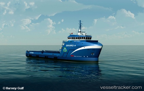
Vessel Harvey Freedom IMO: 9654256, MMSI: 369102000 Offshore Tug Supply Ship
UTC, 26.18147, -94.76307, course: 8, speed: 0.9
UTC, 26.18127, -94.76317, course: 5, speed: 0.7
2026-01-18 18:12:31 UTC, 26.18126, -94.76317, course: 7, speed: 0.9
Live AIS position:
UTC. 129 nm E of South Padre Island),
updated 2026-01-18 18:12:31 UTC.
Find the position of the vessel Harvey Freedom on the map. The latter are known coordinates and path.
marine traffic ship tracker show on live map
The current position of vessel Harvey Freedom is 26.18126 lat / -94.76317 lng. Updated: 2026-01-18 18:12:31 UTCCurrently sailing under the flag of USA
Details:
Last coordinates of the vessel:
UTC, 26.18125, -94.76331, course: 8, speed: 1.1UTC, 26.18147, -94.76307, course: 8, speed: 0.9
UTC, 26.18127, -94.76317, course: 5, speed: 0.7
2026-01-18 18:12:31 UTC, 26.18126, -94.76317, course: 7, speed: 0.9