 vesseltracker.com
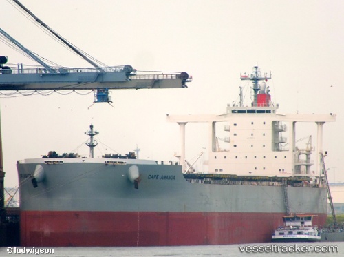
Find the position of the vessel Cape Amanda on the map. The latter are known coordinates and path.
marine traffic ship tracker show on live map
The current position of vessel Cape Amanda is 27.07380 lat / 49.67254 lng. Updated: 2025-11-17 01:54:38 UTCDetails:
Last coordinates of the vessel:
UTC, 27.07379, 49.67257, course: 90, speed: 0UTC, 27.07379, 49.67257, course: 90, speed: 0
UTC, 27.07374, 49.67256, course: 90, speed: 0
2025-11-17 01:54:38 UTC, 27.07380, 49.67254, course: 90, speed: 0