 vesseltracker.com
Live AIS position:
31.19577° N, 29.87443° E UTC. Near Alexandria),
updated 2025-11-21 10:48:07 UTC.
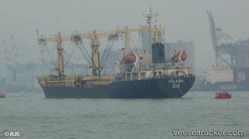
Find the position of the vessel Sally M on the map. The latter are known coordinates and path.
marine traffic ship tracker show on live map
The current position of vessel Sally M is 31.19577 lat / 29.87443 lng. Updated: 2025-11-21 10:48:07 UTCDetails:
Last coordinates of the vessel:
UTC, 31.19577, 29.87443, course: -1, speed: 0UTC, 31.19577, 29.87443, course: -1, speed: 0
UTC, 31.19577, 29.87443, course: -1, speed: 0
2025-11-21 10:48:07 UTC, 31.19577, 29.87443, course: -1, speed: 0
The ship also appears on the maps: