 vesseltracker.com
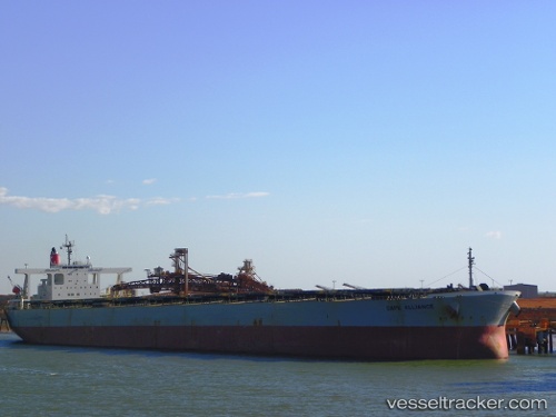
Find the position of the vessel Cape Alliance on the map. The latter are known coordinates and path.
marine traffic ship tracker show on live map
The current position of vessel Cape Alliance is 26.4511 lat / 119.708 lng. Updated: 2025-02-22 19:16:30 UTCPort of registry:
Panama City (capital of Panama)Payload_mass:
206190 tonneGross tonnage:
104732Service entry:
2007-01-01T00:00:00ZDetails:
Last coordinates of the vessel:
UTC, 26.4512, 119.708, course: 310, speed: 0UTC, 26.4511, 119.708, course: 310, speed: 0
UTC, 26.4511, 119.708, course: 310, speed: 0
2025-02-22 19:16:30 UTC, 26.4511, 119.708, course: 310, speed: 0