 vesseltracker.com
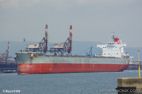
Live AIS position:
32.76924° S, 60.71486° W UTC. Near Fray Luis A. Beltrán),
updated 2025-11-23 22:08:16 UTC.
Find the position of the vessel Hakuta on the map. The latter are known coordinates and path.
marine traffic ship tracker show on live map
The current position of vessel Hakuta is -32.76924 lat / -60.71486 lng. Updated: 2025-11-23 22:08:16 UTCDetails:
Last coordinates of the vessel:
UTC, -32.76923, -60.71491, course: 349, speed: 0UTC, -32.76923, -60.71487, course: 348, speed: 0.1
UTC, -32.76833, -60.71333, course: -1, speed: 0
2025-11-23 22:08:16 UTC, -32.76924, -60.71486, course: 348, speed: 0.1