 vesseltracker.com
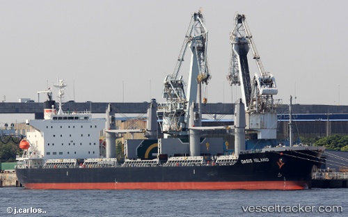
Find the position of the vessel Oasis Island on the map. The latter are known coordinates and path.
marine traffic ship tracker show on live map
The current position of vessel Oasis Island is 32.63154 lat / 132.06415 lng. Updated: 2025-10-01 13:13:13 UTCCurrently sailing under the flag of Panama
Details:
Last coordinates of the vessel:
UTC, 33.18711, 132.10342, course: 166, speed: 12UTC, 33.18594, 132.10381, course: 166, speed: 11.9
UTC, 32.80308, 132.11285, course: 193, speed: 11.7
2025-10-01 13:13:13 UTC, 32.63154, 132.06415, course: 194, speed: 11.8