 vesseltracker.com
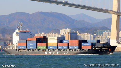
Find the position of the vessel Sunny Rose on the map. The latter are known coordinates and path.
marine traffic ship tracker show on live map
The current position of vessel Sunny Rose is 35.07319 lat / 128.99417 lng. Updated: 2025-10-15 00:28:29 UTCCurrently sailing under the flag of Panama
Details:
Last coordinates of the vessel:
2025-10-15 00:28:29 UTC, 35.07319, 128.99417, course: 83, speed: 0