 vesseltracker.com
Find the position of the vessel ROLLS I on the map. The latter are known coordinates and path.
marine traffic ship tracker show on live map
The current position of vessel ROLLS I is 40.84222 lat / 29.26350 lng. Updated: 2025-10-08 11:42:34 UTCCurrently sailing under the flag of Panama
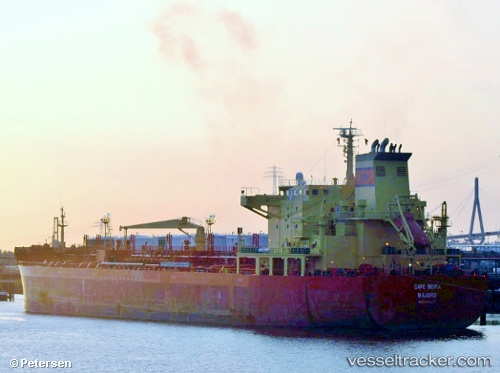
ROLLS I built in 2005 year
Deadweight:
40952 tDetails:
Last coordinates of the vessel:
UTC, 40.84224, 29.26348, course: 22, speed: 0UTC, 40.84218, 29.26346, course: 22, speed: 0
UTC, 40.84220, 29.26346, course: 22, speed: 0
2025-10-08 11:42:34 UTC, 40.84222, 29.26350, course: 22, speed: 0