 vesseltracker.com
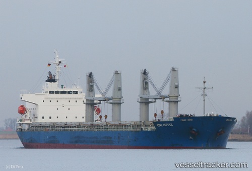
Find the position of the vessel KING M on the map. The latter are known coordinates and path.
marine traffic ship tracker show on live map
The current position of vessel KING M is 19.1539 lat / 39.133 lng. Updated: 2025-05-30 13:50:54 UTCCurrently sailing under the flag of Panama
KING M built in 2012 year
Port of registry:
Panama City (capital of Panama)Deadweight:
32809 tGross tonnage:
20992Service entry:
2012-01-01T00:00:00ZManufacturer:
Kanda DockyardDetails:
Last coordinates of the vessel:
UTC, 19.6297, 38.9011, course: 159, speed: 12UTC, 19.4844, 38.9707, course: 155, speed: 11.8
UTC, 19.3547, 39.0375, course: 154, speed: 11.9
2025-05-30 13:50:54 UTC, 19.1539, 39.133, course: 154, speed: 11.2