 vesseltracker.com
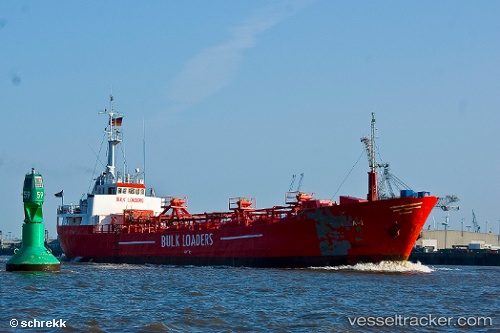
Find the position of the vessel Lola 1 on the map. The latter are known coordinates and path.
marine traffic ship tracker show on live map
The current position of vessel Lola 1 is 59.40017 lat / 5.26333 lng. Updated: 2025-11-12 14:26:45 UTCCurrently sailing under the flag of St Vincent Grenadines
Lola 1 built in 1967 year
Deadweight:
838 tDetails:
Last coordinates of the vessel:
UTC, 59.40017, 5.26333, course: 305, speed: 0UTC, 59.40017, 5.26333, course: 306, speed: 0
UTC, 59.40017, 5.26333, course: 305, speed: 0
2025-11-12 14:26:45 UTC, 59.40017, 5.26333, course: 305, speed: 0