 vesseltracker.com
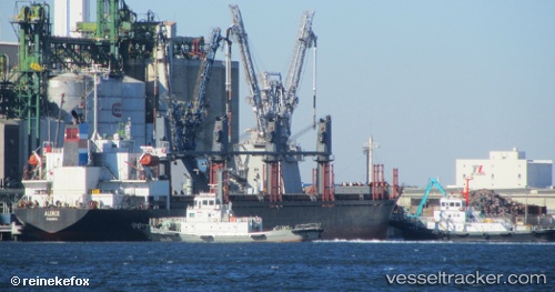
Find the position of the vessel Mariam on the map. The latter are known coordinates and path.
marine traffic ship tracker show on live map
The current position of vessel Mariam is 26.74333 lat / 33.94333 lng. Updated: 2025-10-13 07:46:10 UTCCurrently sailing under the flag of Saint Vincent and the Grenadines
Details:
Last coordinates of the vessel:
UTC, 26.74333, 33.94333, course: -1, speed: 0UTC, 26.74333, 33.94333, course: -1, speed: 0
UTC, 26.74333, 33.94333, course: -1, speed: 0
2025-10-13 07:46:10 UTC, 26.74333, 33.94333, course: -1, speed: 0