 vesseltracker.com
Find the position of the vessel BELLA JUDI on the map. The latter are known coordinates and path.
marine traffic ship tracker show on live map
The current position of vessel BELLA JUDI is 6.96030 lat / 79.85357 lng. Updated: 2025-10-06 11:37:04 UTCCurrently sailing under the flag of St Vincent Grenadines
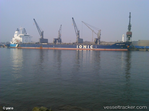
BELLA JUDI built in 2012 year
Deadweight:
34062 tDetails:
Last coordinates of the vessel:
UTC, 6.96033, 79.85355, course: 82, speed: 0UTC, 6.96033, 79.85356, course: 82, speed: 0.1
UTC, 6.96032, 79.85355, course: 82, speed: 0
2025-10-06 11:37:04 UTC, 6.96030, 79.85357, course: 82, speed: 0.1
The ship also appears on the maps: