 vesseltracker.com
Live AIS position:
18.95865° N, 72.94792° E UTC. Near NHAVA SHEVA),
updated 2025-11-22 14:33:30 UTC.
Find the position of the vessel Libra on the map. The latter are known coordinates and path.
marine traffic ship tracker show on live map
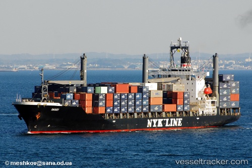
The current position of vessel Libra is 18.95865 lat / 72.94792 lng. Updated: 2025-11-22 14:33:30 UTCCurrently sailing under the flag of St Vincent Grenadines
Libra built in 1997 year
Deadweight:
24383 tDetails:
Last coordinates of the vessel:
UTC, 18.95858, 72.94805, course: 25, speed: 0UTC, 18.95858, 72.94802, course: 25, speed: 0
UTC, 18.95866, 72.94796, course: 25, speed: 0
2025-11-22 14:33:30 UTC, 18.95865, 72.94792, course: 25, speed: 0