 vesseltracker.com
Live AIS position:
54.23661° N, 130.31393° W UTC. Near Watson Island),
updated 2025-11-19 14:54:01 UTC.
Find the position of the vessel Kang Sheng Kou on the map. The latter are known coordinates and path.
marine traffic ship tracker show on live map
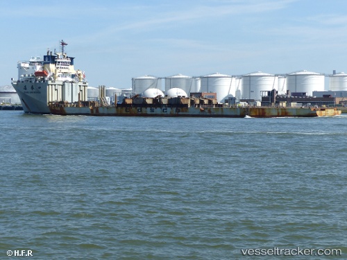
The current position of vessel Kang Sheng Kou is 54.23661 lat / -130.31393 lng. Updated: 2025-11-19 14:54:01 UTCCurrently sailing under the flag of China
Kang Sheng Kou built in 2003 year
Deadweight:
17860 tDetails:
Last coordinates of the vessel:
UTC, 54.23659, -130.31390, course: 328, speed: 0UTC, 54.23660, -130.31390, course: 328, speed: 0
UTC, 54.23659, -130.31392, course: 328, speed: 0
2025-11-19 14:54:01 UTC, 54.23661, -130.31393, course: 328, speed: 0
The ship also appears on the maps: