 vesseltracker.com
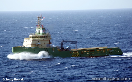
Find the position of the vessel KAN TAN 222 on the map. The latter are known coordinates and path.
marine traffic ship tracker show on live map
The current position of vessel KAN TAN 222 is 20.1991 lat / 110.302 lng. Updated: 2025-09-08 13:23:12 UTCCurrently sailing under the flag of China Peopless Republic
KAN TAN 222 built in 2011 year
Deadweight:
3170 tDetails:
Last coordinates of the vessel:
UTC, 20.2608, 110.996, course: 273, speed: 10UTC, 20.2441, 110.622, course: 268, speed: 10
UTC, 20.2256, 110.438, course: 257, speed: 9.5
2025-09-08 13:23:12 UTC, 20.1991, 110.302, course: 258, speed: 9.7