 vesseltracker.com
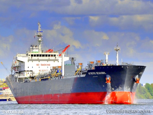
Vessel NING HUA 451 IMO: 9576777, MMSI: 413346590 Chemical/Oil Products Tanker
UTC, 30.31312, 121.87799, course: 144, speed: 0
UTC, 30.31321, 121.87824, course: 151, speed: 0
2026-01-15 02:27:46 UTC, 30.31180, 121.88075, course: 274, speed: 0
Live AIS position:
UTC. 19 nm W of JINHAI HEAVY INDUSTR),
updated 2026-01-15 02:27:46 UTC.
Find the position of the vessel NING HUA 451 on the map. The latter are known coordinates and path.
marine traffic ship tracker show on live map
The current position of vessel NING HUA 451 is 30.31180 lat / 121.88075 lng. Updated: 2026-01-15 02:27:46 UTCCurrently sailing under the flag of China Peopless Republic
NING HUA 451 built in 2011 year
Deadweight:
25588 tDetails:
Last coordinates of the vessel:
UTC, 30.31342, 121.88037, course: 177, speed: 0UTC, 30.31312, 121.87799, course: 144, speed: 0
UTC, 30.31321, 121.87824, course: 151, speed: 0
2026-01-15 02:27:46 UTC, 30.31180, 121.88075, course: 274, speed: 0