 vesseltracker.com
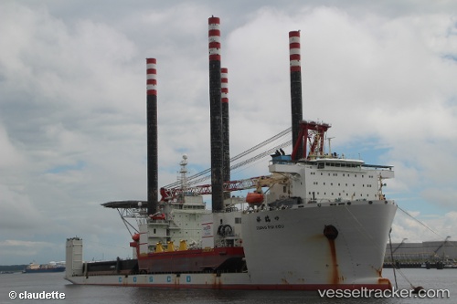
Find the position of the vessel Xiang Rui Kou on the map. The latter are known coordinates and path.
marine traffic ship tracker show on live map
The current position of vessel Xiang Rui Kou is -15.173333333333 lat / 12.128333333333 lng. Updated: 2025-09-23 11:09:43 UTCCurrently sailing under the flag of China
Xiang Rui Kou built in 2011 year
Deadweight:
48293 tDetails:
Last coordinates of the vessel:
UTC, -15.173333333333, 12.128333333333, course: -1, speed: 0UTC, -15.173333333333, 12.128333333333, course: -1, speed: 0
UTC, -15.173333333333, 12.128333333333, course: -1, speed: 0
2025-09-23 11:09:43 UTC, -15.173333333333, 12.128333333333, course: -1, speed: 0
The ship also appears on the maps: