 vesseltracker.com
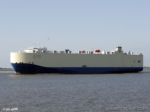
Find the position of the vessel Chang Tai Hong on the map. The latter are known coordinates and path.
marine traffic ship tracker show on live map
The current position of vessel Chang Tai Hong is 41.74022 lat / 16.93018 lng. Updated: 2025-10-28 14:09:17 UTCCurrently sailing under the flag of China
Chang Tai Hong built in 2009 year
Deadweight:
12282 tDetails:
Last coordinates of the vessel:
UTC, 42.02698, 16.44602, course: 127, speed: 14.9UTC, 41.98762, 16.51253, course: 126, speed: 15.4
UTC, 41.85167, 16.74333, course: -1, speed: 15
2025-10-28 14:09:17 UTC, 41.74022, 16.93018, course: 127, speed: 15.5