 vesseltracker.com
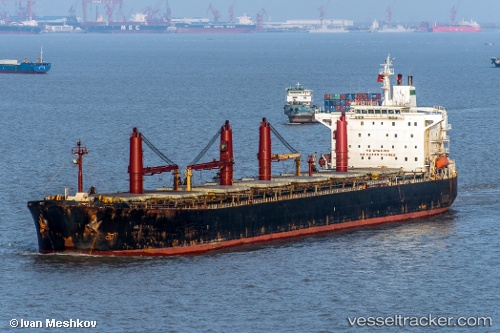
Find the position of the vessel M V. Artaria on the map. The latter are known coordinates and path.
marine traffic ship tracker show on live map
The current position of vessel M V. Artaria is 11.77707 lat / 112.97603 lng. Updated: 2025-10-18 11:36:15 UTCCurrently sailing under the flag of Iran
M V. Artaria built in 2001 year
Deadweight:
72162 tDetails:
Last coordinates of the vessel:
UTC, 11.74751, 112.91890, course: 45, speed: 8.8UTC, 11.74751, 112.91890, course: 45, speed: 8.8
UTC, 11.77707, 112.97603, course: 50, speed: 9.4
2025-10-18 11:36:15 UTC, 11.77707, 112.97603, course: 50, speed: 9.4