vessel Stark I IMO: 9171450, Crude Oil Tanker
vesseltracker.com
Vessel Stark I IMO: 9171450, Crude Oil Tanker
MMSI: 422172000 callsign: EQWS size: 48x275

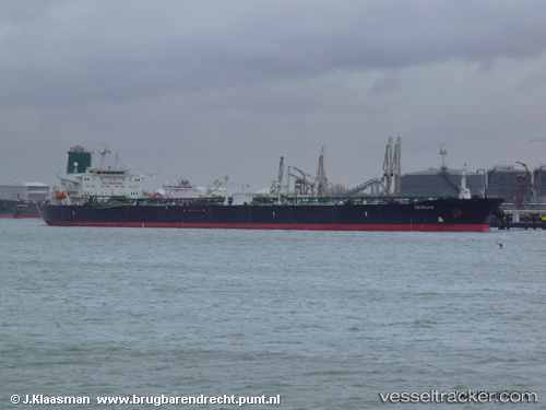
Find the position of the vessel Stark I on the map. The latter are known coordinates and path.

marine traffic ship tracker show on live map

The current position of vessel Stark I is 1.29793 lat / 104.346 lng. Updated: 2025-08-11 21:25:54 UTC
Details:


Last coordinates of the vessel:
UTC, 1.29793, 104.346, course: 53, speed: 12.3
2025-08-11 21:25:54 UTC, 1.29793, 104.346, course: 53, speed: 12.3


Most frequent ports a vessels calls at Stark I (422172000):

Sambu, traffic: 16
Singapore, traffic: 10
PULAU SAMBU, traffic: 5
BATU AMPAR, traffic: 5
TANAH MERAH, traffic: 5
PENGERANG, traffic: 4
BUKOM ISLAND, traffic: 3
JASK, traffic: 1
Galle, traffic: 1
JURONG ISLAND, traffic: 1

Link to the map:


Find another ship

Stark_I (422172000) last ports (portcalls and passsages)

PENGERANG | 2025-08-11 20:29:59
TANAH MERAH | 2025-08-11 19:50:17
PULAU SAMBU | 2025-08-11 19:12:50
JASK | 2025-06-02 12:00:10
Galle | 2025-05-26 10:45:48
PULAU SAMBU | 2025-05-20 17:31:21
TANAH MERAH | 2025-05-20 17:01:24
PENGERANG | 2025-05-20 16:23:36
TANAH MERAH | 2025-05-09 02:25:34
JURONG ISLAND | 2025-03-07 10:29:16
BUKOM ISLAND | 2025-03-07 09:52:17
Sambu | 2025-03-07 08:49:29
PENGERANG | 2025-03-07 06:53:39
TANAH MERAH | 2025-02-07 06:27:30
PULAU SAMBU | 2025-02-07 05:20:36
BUKOM ISLAND | 2024-11-29 07:10:46
PULAU SAMBU | 2024-11-29 06:28:46
TANAH MERAH | 2024-11-29 05:02:09
PENGERANG | 2024-11-29 03:28:43
Sambu | 2024-10-01 01:13:22
Sambu | 2024-08-14 08:36:35
Sambu | 2024-07-28 00:57:32
Singapore | 2024-06-11 08:24:20
Sambu | 2024-05-16 22:49:23
Singapore | 2024-03-23 00:12:54
Singapore | 2023-10-26 02:59:31
Singapore | 2023-09-14 02:03:44
Sambu | 2023-08-31 21:29:18
Singapore | 2023-07-05 23:38:04
Singapore | 2022-08-11 16:56:46
Sambu | 2022-08-11 16:52:25