 vesseltracker.com
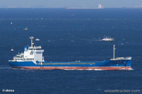
Vessel Mirai IMO: 9756690, MMSI: 431007152 General Cargo Ship
UTC, 34.09784, 133.00327, course: 311, speed: 10.7
UTC, 34.12218, 132.87347, course: 220, speed: 12
2026-01-16 11:23:13 UTC, 33.93373, 132.66808, course: 235, speed: 12.3
Live AIS position:
UTC. Near TAKAHAMA),
updated 2026-01-16 11:23:13 UTC.
Find the position of the vessel Mirai on the map. The latter are known coordinates and path.
marine traffic ship tracker show on live map
The current position of vessel Mirai is 33.93373 lat / 132.66808 lng. Updated: 2026-01-16 11:23:13 UTCCurrently sailing under the flag of Japan
Details:
Last coordinates of the vessel:
UTC, 34.30262, 133.34872, course: 215, speed: 12.6UTC, 34.09784, 133.00327, course: 311, speed: 10.7
UTC, 34.12218, 132.87347, course: 220, speed: 12
2026-01-16 11:23:13 UTC, 33.93373, 132.66808, course: 235, speed: 12.3