 vesseltracker.com
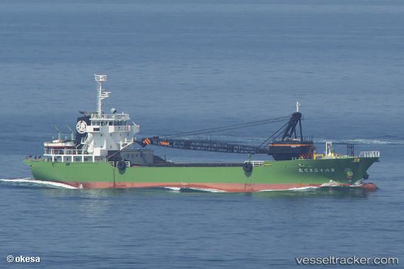
Vessel Sadamaru No.63 IMO: 9798533, MMSI: 431008969 General Cargo Ship
UTC, 35.37938, 139.73532, course: 182, speed: 0.1
UTC, 35.37898, 139.73593, course: 287, speed: 0
2026-01-18 17:58:09 UTC, 35.37898, 139.73593, course: 287, speed: 0
Live AIS position:
UTC. Near Naka-Ku, Kanagawa),
updated 2026-01-18 17:58:09 UTC.
Find the position of the vessel Sadamaru No.63 on the map. The latter are known coordinates and path.
marine traffic ship tracker show on live map
The current position of vessel Sadamaru No.63 is 35.37898 lat / 139.73593 lng. Updated: 2026-01-18 17:58:09 UTCCurrently sailing under the flag of Japan
Details:
Last coordinates of the vessel:
UTC, 35.37935, 139.73489, course: 146, speed: 0.1UTC, 35.37938, 139.73532, course: 182, speed: 0.1
UTC, 35.37898, 139.73593, course: 287, speed: 0
2026-01-18 17:58:09 UTC, 35.37898, 139.73593, course: 287, speed: 0