 vesseltracker.com
Live AIS position:
50.28852° N, 0.55597° W UTC. 28 nm S of Selsey),
updated 2025-11-20 00:21:57 UTC.
Find the position of the vessel Mackinac Bridge on the map. The latter are known coordinates and path.
marine traffic ship tracker show on live map
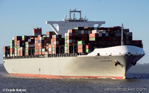
The current position of vessel Mackinac Bridge is 50.28852 lat / -0.55597 lng. Updated: 2025-11-20 00:21:57 UTCCurrently sailing under the flag of Japan
Details:
Last coordinates of the vessel:
UTC, 50.64690, -0.91503, course: 119, speed: 9UTC, 50.49720, -0.79364, course: 150, speed: 10.6
UTC, 50.29518, -0.67234, course: 134, speed: 9.7
2025-11-20 00:21:57 UTC, 50.28852, -0.55597, course: 82, speed: 7.8