 vesseltracker.com
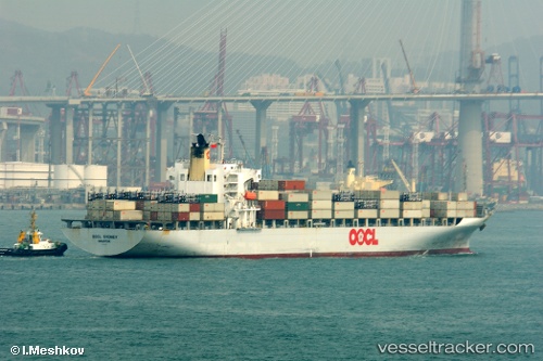
Find the position of the vessel Port Klang Voyager on the map. The latter are known coordinates and path.
marine traffic ship tracker show on live map
The current position of vessel Port Klang Voyager is -6.11218 lat / 110.594 lng. Updated: 2025-07-12 18:42:32 UTCCurrently sailing under the flag of Korea
Port Klang Voyager built in 2003 year
Deadweight:
43093 tDetails:
Last coordinates of the vessel:
UTC, -5.9908, 109.554, course: 107, speed: 13.5UTC, -6.07723, 110.093, course: 93, speed: 13.7
UTC, -6.07893, 110.199, course: 85, speed: 14
2025-07-12 18:42:32 UTC, -6.11218, 110.594, course: 97, speed: 14.6