 vesseltracker.com
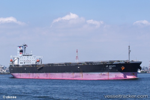
Find the position of the vessel ORIENTAL STAR on the map. The latter are known coordinates and path.
marine traffic ship tracker show on live map
The current position of vessel ORIENTAL STAR is -27.26 lat / 153.303 lng. Updated: 2025-08-05 14:56:21 UTCCurrently sailing under the flag of Korea (Republic of)
ORIENTAL STAR built in 2005 year
Deadweight:
88111 tDetails:
Last coordinates of the vessel:
UTC, -27.26, 153.302, course: 179, speed: 0.1UTC, -27.26, 153.303, course: 195, speed: 0
UTC, -27.26, 153.302, course: 192, speed: 0
2025-08-05 14:56:21 UTC, -27.26, 153.303, course: 193, speed: 0