 vesseltracker.com
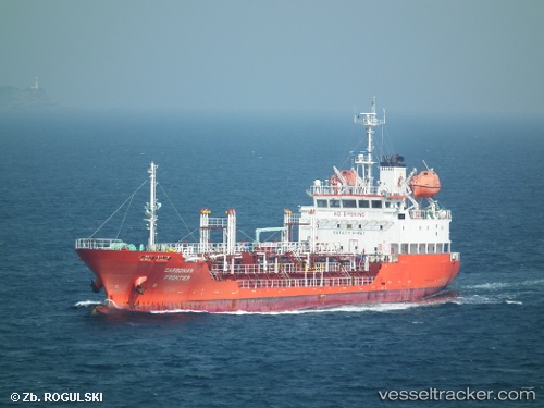
Find the position of the vessel Keoyoung Frontier on the map. The latter are known coordinates and path.
marine traffic ship tracker show on live map
The current position of vessel Keoyoung Frontier is 35.08821 lat / 129.07631 lng. Updated: 2025-10-21 11:58:49 UTCCurrently sailing under the flag of Korea
Details:
Last coordinates of the vessel:
UTC, 35.08823, 129.07632, course: 144, speed: 0.1UTC, 35.08823, 129.07634, course: 144, speed: 0
UTC, 35.08821, 129.07631, course: 144, speed: 0.1
2025-10-21 11:58:49 UTC, 35.08821, 129.07631, course: 144, speed: 0.1