 vesseltracker.com
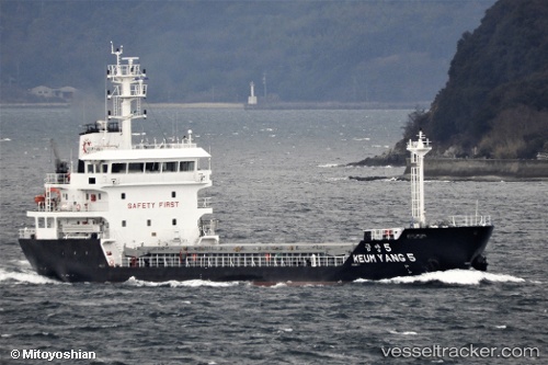
Find the position of the vessel Keum Yang 5 on the map. The latter are known coordinates and path.
marine traffic ship tracker show on live map
The current position of vessel Keum Yang 5 is 34.89540 lat / 127.69796 lng. Updated: 2025-11-18 19:57:35 UTCDetails:
Last coordinates of the vessel:
UTC, 34.89500, 127.69667, course: -1, speed: 0UTC, 34.89544, 127.69769, course: 5, speed: 0.1
UTC, 34.89540, 127.69796, course: 348, speed: 0
2025-11-18 19:57:35 UTC, 34.89540, 127.69796, course: 348, speed: 0