 vesseltracker.com
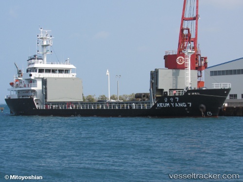
Live AIS position:
35.05181° N, 136.83507° E UTC. Near Nagoya),
updated 2025-11-21 06:00:25 UTC.
Find the position of the vessel Keum Yang 7 on the map. The latter are known coordinates and path.
marine traffic ship tracker show on live map
The current position of vessel Keum Yang 7 is 35.05181 lat / 136.83507 lng. Updated: 2025-11-21 06:00:25 UTCCurrently sailing under the flag of Korea
Details:
Last coordinates of the vessel:
UTC, 35.05842, 136.83290, course: 27, speed: 0UTC, 35.05843, 136.83293, course: 27, speed: 0
UTC, 35.05584, 136.83508, course: 188, speed: 5.8
2025-11-21 06:00:25 UTC, 35.05181, 136.83507, course: 159, speed: 6.8