 vesseltracker.com
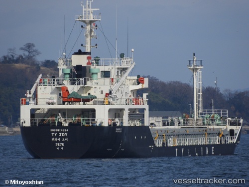
Find the position of the vessel Ty Joy on the map. The latter are known coordinates and path.
marine traffic ship tracker show on live map
The current position of vessel Ty Joy is 34.91013 lat / 127.71693 lng. Updated: 2025-11-16 01:49:15 UTCCurrently sailing under the flag of Korea
Details:
Last coordinates of the vessel:
UTC, 34.91013, 127.71693, course: 104, speed: 0.1UTC, 34.91013, 127.71693, course: 104, speed: 0.1
UTC, 34.91013, 127.71693, course: 104, speed: 0.1
2025-11-16 01:49:15 UTC, 34.91013, 127.71693, course: 104, speed: 0.1