 vesseltracker.com
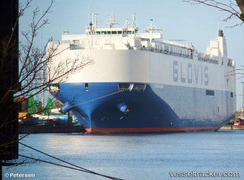
Vessel GLOVIS CHALLENGE IMO: 9590591, MMSI: 441190000 Vehicles Carrier
UTC, 7.02683, 77.90627, course: 115, speed: 13.7
UTC, 6.75487, 78.32454, course: 121, speed: 13.7
2026-02-05 12:07:25 UTC, 6.47626, 78.74795, course: 130, speed: 14.4
Live AIS position:
UTC. 69 nm W of Moratuwa),
updated 2026-02-05 12:07:25 UTC.
Find the position of the vessel GLOVIS CHALLENGE on the map. The latter are known coordinates and path.
marine traffic ship tracker show on live map
The current position of vessel GLOVIS CHALLENGE is 6.47626 lat / 78.74795 lng. Updated: 2026-02-05 12:07:25 UTCCurrently sailing under the flag of Korea (Republic of)
GLOVIS CHALLENGE built in 2012 year
Deadweight:
20895 tDetails:
Last coordinates of the vessel:
UTC, 7.22420, 77.58741, course: 117, speed: 14.8UTC, 7.02683, 77.90627, course: 115, speed: 13.7
UTC, 6.75487, 78.32454, course: 121, speed: 13.7
2026-02-05 12:07:25 UTC, 6.47626, 78.74795, course: 130, speed: 14.4