 vesseltracker.com
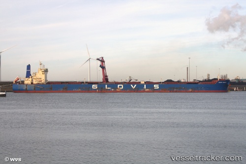
Find the position of the vessel '441222000' on the map. The latter are known coordinates and path.
marine traffic ship tracker show on live map
The current position of vessel '441222000' is -15.2193 lat / -75.2604 lng. Updated: 2025-05-08 16:04:31 UTCPayload_mass:
179217 tonneGross tonnage:
93313Service entry:
2012-01-01T00:00:00ZManufacturer:
Hyundai Mipo Dockyard (South Korean shipbuilding company)Details:
Last coordinates of the vessel:
UTC, -15.2193, -75.2598, course: 182, speed: 0.1UTC, -15.2195, -75.2597, course: 185, speed: 0.1
UTC, -15.2193, -75.2599, course: 187, speed: 0.2
2025-05-08 16:04:31 UTC, -15.2193, -75.2604, course: 176, speed: 0.2