 vesseltracker.com
Live AIS position:
34.87118° N, 127.78557° E UTC. Near Sangam-dong),
updated 2025-11-21 03:37:09 UTC.
Find the position of the vessel Keum Yang Prime on the map. The latter are known coordinates and path.
marine traffic ship tracker show on live map
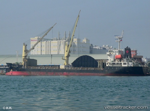
The current position of vessel Keum Yang Prime is 34.87118 lat / 127.78557 lng. Updated: 2025-11-21 03:37:09 UTCCurrently sailing under the flag of Korea
Keum Yang Prime built in 2007 year
Deadweight:
7147 tDetails:
Last coordinates of the vessel:
UTC, 34.87128, 127.78566, course: 319, speed: 0UTC, 34.87128, 127.78566, course: 319, speed: 0
UTC, 34.87128, 127.78566, course: 319, speed: 0
2025-11-21 03:37:09 UTC, 34.87118, 127.78557, course: 330, speed: 0