 vesseltracker.com
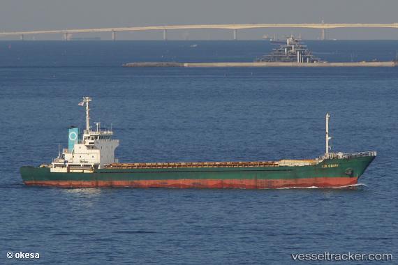
Find the position of the vessel SU RYONG SAN on the map. The latter are known coordinates and path.
marine traffic ship tracker show on live map
The current position of vessel SU RYONG SAN is 30.009 lat / 122.103 lng. Updated: 2025-04-02 05:51:06 UTCCurrently sailing under the flag of Korea Democratic Republic
SU RYONG SAN built in 1991 year
Deadweight:
4519 tDetails:
Last coordinates of the vessel:
2025-04-02 05:51:06 UTC, 30.009, 122.103, course: -1, speed: 0