 vesseltracker.com
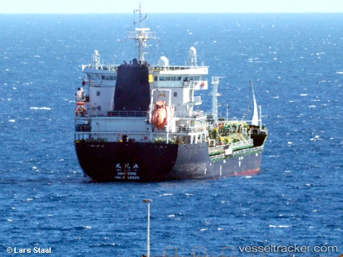
Find the position of the vessel Amber Bay on the map. The latter are known coordinates and path.
marine traffic ship tracker show on live map
The current position of vessel Amber Bay is 8.88288 lat / -79.51257 lng. Updated: 2025-10-24 02:11:30 UTCDetails:
Last coordinates of the vessel:
UTC, 8.88323, -79.51278, course: 61, speed: 0UTC, 8.88299, -79.51257, course: 44, speed: 0.1
UTC, 8.88291, -79.51247, course: 38, speed: 0
2025-10-24 02:11:30 UTC, 8.88288, -79.51257, course: 35, speed: 0