 vesseltracker.com
Find the position of the vessel ST HIKARI on the map. The latter are known coordinates and path.
marine traffic ship tracker show on live map
The current position of vessel ST HIKARI is 42.77167 lat / 132.89166 lng. Updated: 2025-10-10 06:09:13 UTCCurrently sailing under the flag of Hong Kong
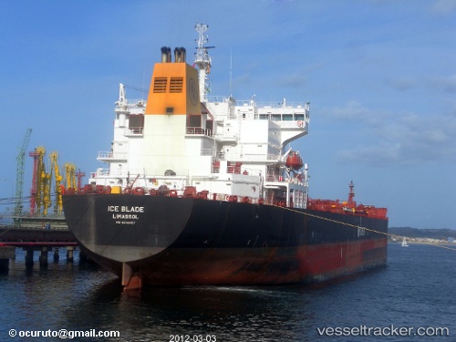
ST HIKARI built in 2008 year
Deadweight:
63599 tDetails:
Last coordinates of the vessel:
UTC, 42.77167, 132.89166, course: -1, speed: 0UTC, 42.77167, 132.89166, course: -1, speed: 0
UTC, 42.77167, 132.89166, course: -1, speed: 0
2025-10-10 06:09:13 UTC, 42.77167, 132.89166, course: -1, speed: 0