 vesseltracker.com
Find the position of the vessel Man Kai on the map. The latter are known coordinates and path.
marine traffic ship tracker show on live map
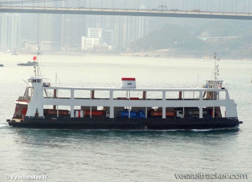
The current position of vessel Man Kai is 22.29459 lat / 114.20342 lng. Updated: 2025-11-15 19:24:30 UTCCurrently sailing under the flag of Hong Kong
Man Kai built in 1985 year
Deadweight:
345 tDetails:
Last coordinates of the vessel:
UTC, 22.29509, 114.20309, course: -1, speed: 0UTC, 22.30753, 114.22025, course: -1, speed: 0.1
UTC, 22.29461, 114.20341, course: -1, speed: 0.5
2025-11-15 19:24:30 UTC, 22.29459, 114.20342, course: -1, speed: 0