 vesseltracker.com
Live AIS position:
46.73857° N, 86.35062° W UTC. 23 nm NE of Christmas),
updated 2025-11-19 21:51:55 UTC.
Find the position of the vessel Kaye E Barker on the map. The latter are known coordinates and path.
marine traffic ship tracker show on live map
The current position of vessel Kaye E Barker is 46.73857 lat / -86.35062 lng. Updated: 2025-11-19 21:51:55 UTCCurrently sailing under the flag of USA
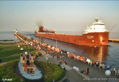
Kaye E Barker built in 1952 year
Deadweight:
25345 tDetails:
Last coordinates of the vessel:
UTC, 46.58660, -87.27704, course: 77, speed: 12.5UTC, 46.65170, -86.88182, course: 76, speed: 12.5
UTC, 46.68445, -86.67962, course: 76, speed: 12.5
2025-11-19 21:51:55 UTC, 46.73857, -86.35062, course: 77, speed: 12.9