 vesseltracker.com
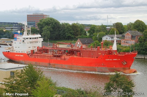
Find the position of the vessel AL MAHA on the map. The latter are known coordinates and path.
marine traffic ship tracker show on live map
The current position of vessel AL MAHA is 2.0257116666667 lat / 45.336563333333 lng. Updated: 2025-10-08 03:52:34 UTCCurrently sailing under the flag of Palau (Republic of)
AL MAHA built in 1996 year
Deadweight:
4338 tDetails:
Last coordinates of the vessel:
UTC, 2.0257083333333, 45.336565, course: 52, speed: 0.1UTC, 2.02572, 45.336568333333, course: 52, speed: 0
UTC, 2.0257216666667, 45.33656, course: 52, speed: 0
2025-10-08 03:52:34 UTC, 2.0257116666667, 45.336563333333, course: 53, speed: 0