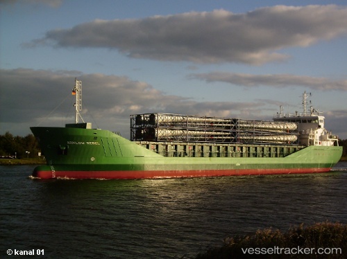
Find the position of the vessel ADAM A on the map. The latter are known coordinates and path.
marine traffic ship tracker show on live map
The current position of vessel ADAM A is 12.8788 lat / 74.4451 lng. Updated: 2024-12-26 21:45:16 UTCCurrently sailing under the flag of Palau
ADAM A built in 1995 year
Deadweight:
28458 tPayload_mass:
28458 tonneGross tonnage:
17429Service entry:
1995-01-01T00:00:00ZManufacturer:
Kanda DockyardDetails:
Last coordinates of the vessel:
UTC, 12.7946, 74.1883, course: 72, speed: 9.8UTC, 12.8313, 74.308, course: 77, speed: 9.8
UTC, 12.8906, 74.5048, course: 255, speed: 9.4
2024-12-26 21:45:16 UTC, 12.8788, 74.4451, course: 28, speed: 0.6
The ship also appears on the maps:

 vesseltracker.com