 vesseltracker.com
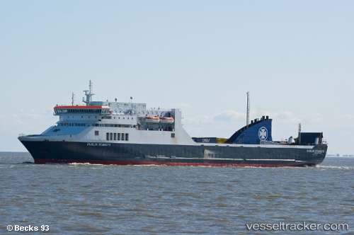
Find the position of the vessel Strait Feronia on the map. The latter are known coordinates and path.
marine traffic ship tracker show on live map
The current position of vessel Strait Feronia is -41.271755 lat / 174.78793166667 lng. Updated: 2025-10-01 20:10:25 UTCCurrently sailing under the flag of New Zealand
Strait Feronia built in 1997 year
Deadweight:
7910 tDetails:
Last coordinates of the vessel:
UTC, -41.271755, 174.78793166667, course: 168, speed: 0UTC, -41.271755, 174.78793166667, course: 168, speed: 0
UTC, -41.271755, 174.78793166667, course: 168, speed: 0
2025-10-01 20:10:25 UTC, -41.271755, 174.78793166667, course: 168, speed: 0