 vesseltracker.com
Find the position of the vessel J M A on the map. The latter are known coordinates and path.
marine traffic ship tracker show on live map
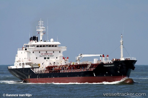
The current position of vessel J M A is 25.975 lat / 54.4017 lng. Updated: 2025-09-12 21:28:25 UTCCurrently sailing under the flag of Cook islands
J M A built in 2001 year
Deadweight:
6902 tDetails:
Last coordinates of the vessel:
UTC, 25.7615, 55.1481, course: 291, speed: 0UTC, 25.7615, 55.1481, course: 278, speed: 0
UTC, 25.7615, 55.1481, course: 278, speed: 0
2025-09-12 21:28:25 UTC, 25.975, 54.4017, course: -1, speed: 10