 vesseltracker.com
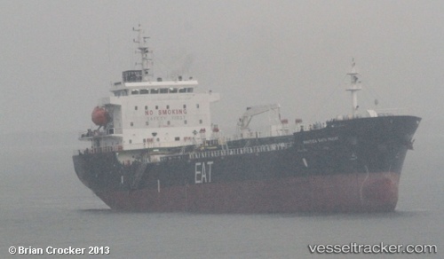
Find the position of the vessel SUA on the map. The latter are known coordinates and path.
marine traffic ship tracker show on live map
The current position of vessel SUA is 25.1472 lat / 56.4561 lng. Updated: 2025-09-05 20:22:32 UTCCurrently sailing under the flag of Cook islands
SUA built in 2010 year
Deadweight:
9985 tDetails:
Last coordinates of the vessel:
UTC, 25.1467, 56.455, course: 138, speed: 0.1UTC, 25.147, 56.4552, course: 156, speed: 0
UTC, 25.147, 56.4555, course: 164, speed: 0
2025-09-05 20:22:32 UTC, 25.1472, 56.4561, course: 193, speed: 0.1