 vesseltracker.com
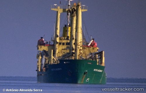
Find the position of the vessel MUTIA LADJONI 9 on the map. The latter are known coordinates and path.
marine traffic ship tracker show on live map
The current position of vessel MUTIA LADJONI 9 is 0.85924666666667 lat / 122.795115 lng. Updated: 2025-10-18 06:47:43 UTCCurrently sailing under the flag of Indonesia
MUTIA LADJONI 9 built in 1991 year
Deadweight:
7194 tDetails:
Last coordinates of the vessel:
UTC, 0.85924666666667, 122.795115, course: -1, speed: 0.1UTC, 0.85924666666667, 122.795115, course: -1, speed: 0.1
UTC, 0.85924666666667, 122.795115, course: -1, speed: 0.1
2025-10-18 06:47:43 UTC, 0.85924666666667, 122.795115, course: -1, speed: 0.1