 vesseltracker.com
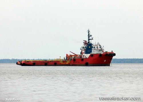
Find the position of the vessel Ahts.peteka 5402 on the map. The latter are known coordinates and path.
marine traffic ship tracker show on live map
The current position of vessel Ahts.peteka 5402 is -6.1138816666667 lat / 106.86134333333 lng. Updated: 2025-10-08 00:48:54 UTCCurrently sailing under the flag of Indonesia
Details:
Last coordinates of the vessel:
UTC, -6.1138816666667, 106.86134166667, course: 171, speed: 0UTC, -6.113845, 106.86130333333, course: 170, speed: 0
UTC, -6.1138566666667, 106.86132833333, course: 172, speed: 0
2025-10-08 00:48:54 UTC, -6.1138816666667, 106.86134333333, course: 172, speed: 0