 vesseltracker.com
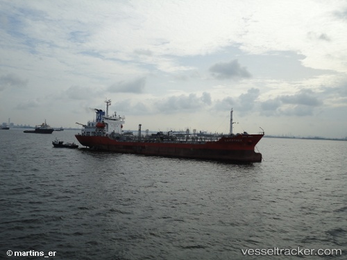
Find the position of the vessel Mt Erawan 1 on the map. The latter are known coordinates and path.
marine traffic ship tracker show on live map
The current position of vessel Mt Erawan 1 is 1.1579666666667 lat / 103.93036666667 lng. Updated: 2025-09-19 00:13:55 UTCCurrently sailing under the flag of Indonesia
Mt Erawan 1 built in 1997 year
Deadweight:
5980 tDetails:
Last coordinates of the vessel:
UTC, 1.15865, 103.93061666667, course: 124, speed: 0UTC, 1.15895, 103.9304, course: 117, speed: 0
UTC, 1.1591333333333, 103.93113333333, course: 183, speed: 0.2
2025-09-19 00:13:55 UTC, 1.1579666666667, 103.93036666667, course: 45, speed: 0